









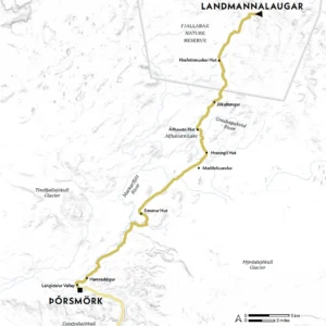
Location Southern Iceland
Start Landmannalaugar
Finish Þórsmörk
Distance 55km (34 miles)
Duration Three to five days
Challenge Level 3/5
When to Walk Late June to early September
Info fi.is
Find your feet in the Land of Fire and Ice on the classic ‘Hot Spring Route’, walking through some of the planet’s weirdest wilderness
Iceland is undeniably unusual – in all the best ways. Its geology is like nowhere else on Earth. Indeed, so relatively young and lively is this Arctic-edge isle that you can almost watch it being formed before your eyes. Fumaroles smoke, geysers spurt, fissures shift, volcanoes vomit and spill. It’s a rather exciting place to go for a walk.
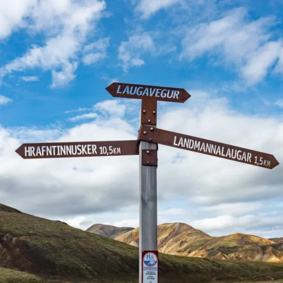
The most popular trail is the Laugavegur (the ‘Hot Spring Route’), which runs from Landmannalaugar in the heart of the Southern Highlands to Þórsmörk – the ‘Valley of Thor’, named after the Norse god of thunder. It only takes a few days, but provides a crash course in the great Icelandic outdoors. When to hike? The season is short, the trail usually opening mid/late June, depending on the harshness of the previous winter.
This makes planning an early season hike risky. July has the best weather and long days – highs of 12°C (54°F), up to 20 hours of daylight – and is consequently busiest. In August the weather is still good but it tends to be a little quieter, especially towards the end of the month as things turn a touch cooler. Though of course, this is Iceland: the weather, or the volcanoes, could do something weird at any time.
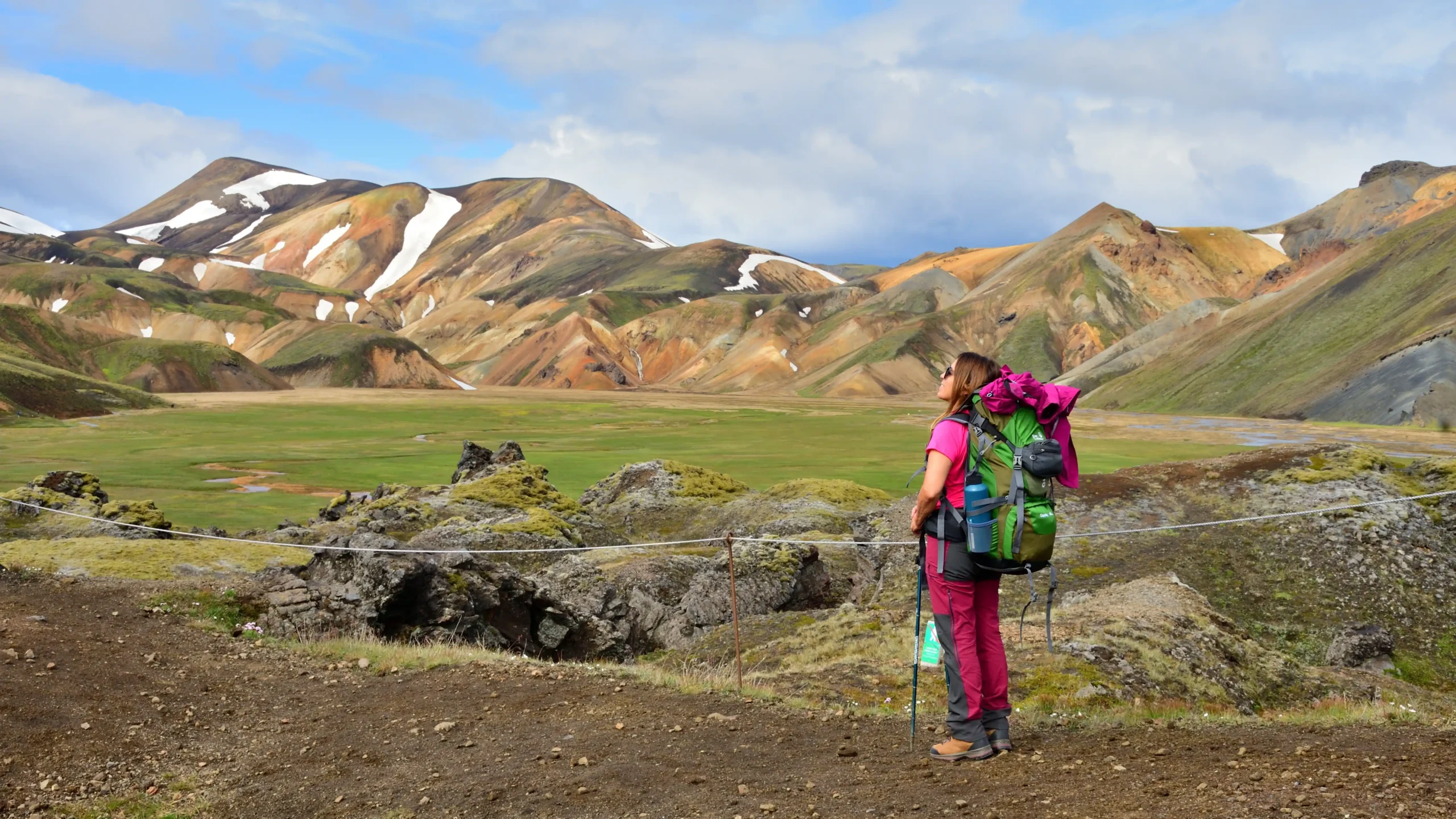
There are six well-spaced huts along the route, offering heated dorms, bathrooms, kitchens and camaraderie but no electricity. These are bookable only for north-to-south walks starting at Landmannalaugar; however, if you’re willing to pitch at the adjacent campsites instead, you can hike in either direction. Assuming you kick off the hike at Landmannalaugar, it’s worth getting there the day before starting out, for the chance to bathe in its hot springs and soak up the majesty of its many hued rhyolite mountains, variously streaked with striking reds, purples, yellows and greens.
Long and winding roads
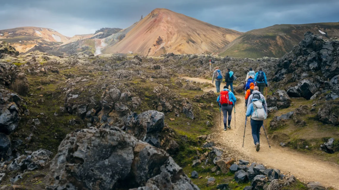
From here, the trail climbs steeply to a lava field and straight into a hotbed of geothermal activity, with mud burping in pots, vents puffing steam and vivid-green moss brightening the basalt. Gradually the rainbow rhyolite gives way to black volcanic slopes, and the waymarks lead to Hrafntinnusker Hut. Perched at 1110m (3642ft), amid a landscape of dark, ice-streaked peaks, it’s the highest point on the trail.
The onward route to Álftavatn Hut hops across snow-filled ravines via slender snow bridges, eventually leading to the edge of Jökultungur, one of the Laugavegur’s finest lookouts, with views of three glaciers: on a clear day you can admire the permanently icy Mýrdalsjökull, Eyjafjallajökull and Tindfjallajökull.
Then a rocky descent dips to the Grashagakvisl River, which you may have to wade across. After Álftavatn the trail fords a succession of rivers – you’ll likely get wet feet at some point. There’s a small hut at Hvanngil, but most press on to the black sands of Mælifelssandur – strange, exposed, elemental. Ahead lie deep canyons, moss-cloaked hills and, eventually, the welcoming hut at Emstrur, with its glacier views. Then all that’s left is the trek to Þórsmörk, a diverse section blessed with craggy ravines and verdant greenery – Hallormsstaðaskógur is especially lush, with its stunted birch forest, herbs and wildflowers. At Langidalur Valley is journey’s end, Þórsmörk – give yourself some thunderous applause

Get involved
Extract taken from Lonely Planet’s Where To Go When Hiking, written by Sarah Baxter and Paul Bloomfield. Discover 96 spectacular hiking trails around the world and the best times to explore them in this inspiring month-by-month trip planner.