









Location Tyrol, Austria
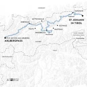
Start St Johann in Tirol
Finish Arlbergpass (St Anton am Arlberg)
Distance 326km (203 miles)
Duration 21 days
Challenge Level 4/5
When to Walk July-September
Info tyrol.com
Spread your wings on the epic ‘Eagle Trail’ across the Austrian Tyrol, traversing a succession of mighty mountain ranges as you go
Gaze at a map of the Austrian Tyrol, trace the meandering route of its greatest trek, and what creature springs to mind? This game’s a little like guessing constellations– it calls for a bit of imagination – but, once you’ve seen it, the resemblance is obvious: a bird of prey, head ducked below Innsbruck, wings spread to span the region.
The Adlerweg (Eagle Trail) is designed to showcase the Tyrol’s scenic splendour. It traverses the phalanx of mountain ranges standing shoulder to ranked shoulder along the northern rim of the Inn Valley: from east to west, the Wilder Kaiser, Brandenberg, Rofan, Karwendel, Wetterstein, Mieming and Lechtaler Alps. Reaching 2870m (9416ft), with challenging scree patches, lingering snow and fixed ropes, this lofty trek is doable only between late June and mid-September.
It does, though, frequently duck down to visit villages and towns. While that makes for plenty of ascent and descent – well over 23,000m (75,460ft) – it also provides ample opportunities for cultural and culinary discovery. That means exploring Innsbruck’s old centre, with its gleaming Goldenes Dachl (Golden Roof), but also tucking into Käsespätzle (cheesy little noodles), Knödel (dumplings) and, most moreish of all, Kaiserschmarrn – a dessert delight of shredded, sugared pancakes best served with a fruit compote and Schlagobers (whipped cream).
Stage after stage
If the entire trail seems too gargantuan an undertaking – or if you can’t spare so much time – good public transport means it’s straightforward to split the route into two satisfying chunks east and west of Innsbruck, or to tackle one or more of the 24 stages.
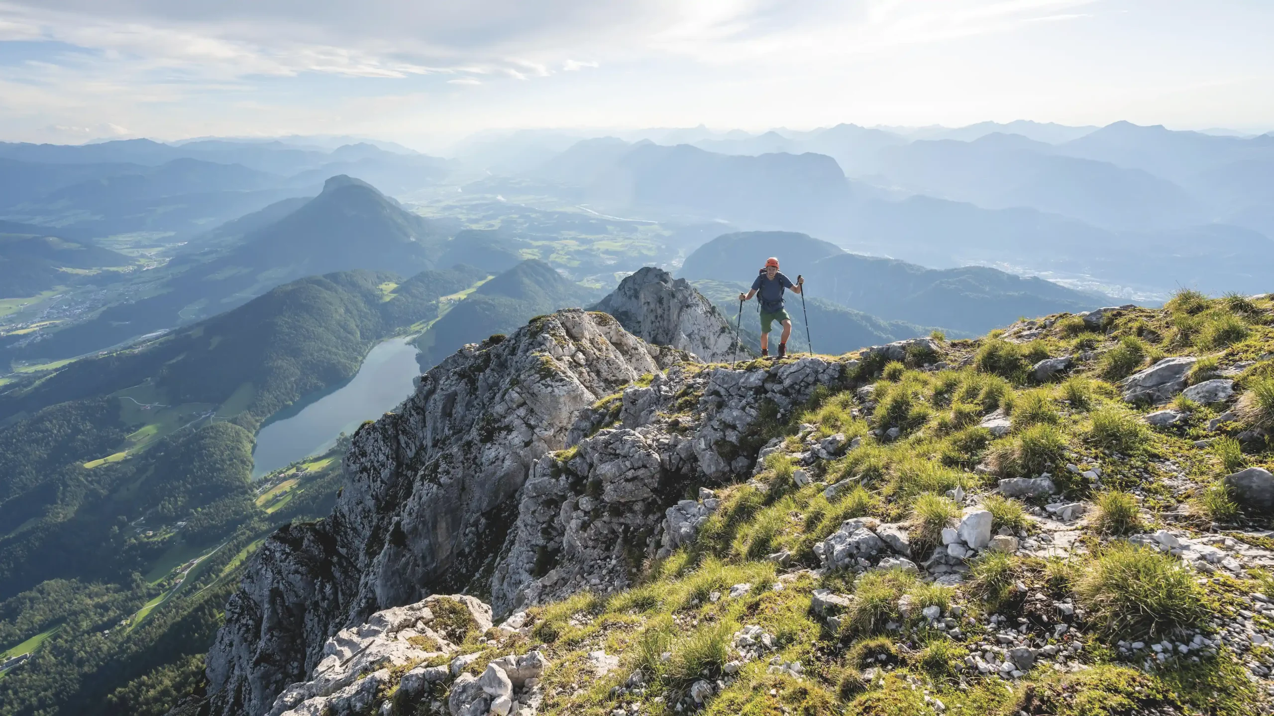
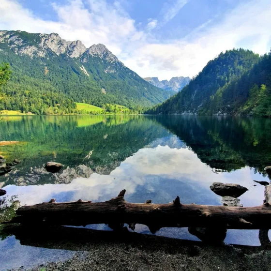
From the official start point at St Johann in Tirol, the Adlerweg climbs to a pair of natural marvels: the cave of Diebsöfen (Thief’s Oven), and the Schleierwasserfall cascading down a 60m (197ft) rock face. Continue through forests and meadows, drinking in views of jagged Wilder Kaiser peaks and taking a dip in the Hintersteiner See mountain lake before descending to Kufstein, guarded by its hulking medieval fortress. The following stages switchback through the Brandenberg and Rofan ranges, alternating Alpine pastures and forests with testing ridges and peaks, notably the 1645m-high (5397ft) Köglhörndl, providing far-reaching views.
Arguably the most popular section, both spectacular and conveniently close to Innsbruck, comprises the five stages through the Karwendel Alps. This mightiest of the route’s ranges is both demanding and exhilarating, with panoramic vistas north into Bavaria and south across the Inn Valley. Keep an eye out for chamois, mountain hares, fire salamanders and – aptly enough – golden eagles soaring over the crags.
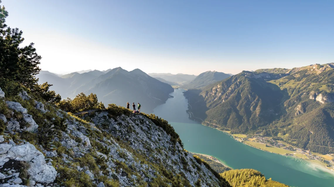
A loop dips south of Innsbruck along the Zirbenweg (Stone Pine Trail), winding through pine forests and across the slopes of the Patscherkofel for views back to the Karwendel peaks. Then it’s back to the main route west, using cable cars to link sheer climbs and plunges for views of Alpine tarns below. You’ll need a head for heights on the last seven stages, which trace the ridges of the Lechtal Alps, encompassing stretches alongside sheer drops before reaching the Arlbergpass and the border with neighbouring Vorarlberg. Congratulations: the eagle has landed.
Get involved
Extract taken from Lonely Planet’s Where To Go When Hiking, written by Sarah Baxter and Paul Bloomfield. Discover 96 spectacular hiking trails around the world and the best times to explore them in this inspiring month-by-month trip planner.