









Location Swedish Lapland
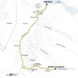
Start Abisko
Finish Nikkaluokta
Distance 107km (66.5 miles)
Duration Five to seven days
Challenge Level 3/5
When to Walk July-September
Info hiking-tours.com
Stride out into untamed Arctic wilderness, hiking between remote cabins, across ancient bogs, past herds of reindeer and beneath Sweden’s highest mountain
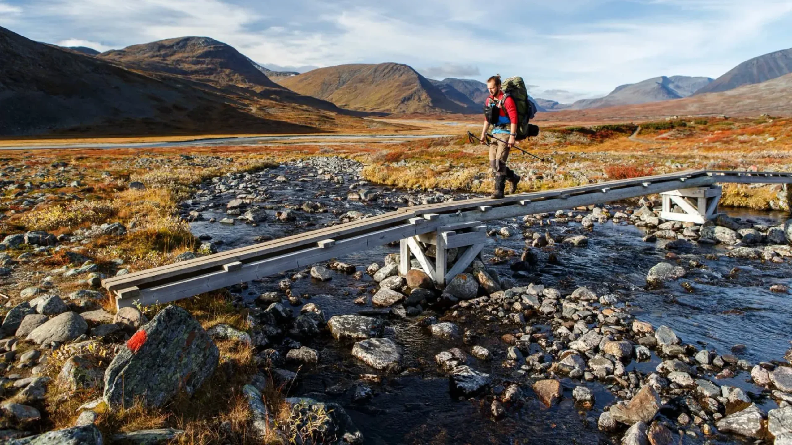
Trust the Scandinavians. Create a 460km (286-mile) hiking trail through the big-sky expanses of Sweden’s far north? Start high above the Arctic Circle in Lapland, where the mercury frequently plummets to -20°C (-4°F)? Waymark paths and build boardwalks across permafrost and bog, beneath jagged peaks and through birch forests, installing comfortable cabins and mountain stations for trekkers en route? No problem.
That’s what the Svenska Turistföreningen (Swedish Tourist Association; STF) did in the early 20th century, linking together sections of historic paths. The majestic result was given a suitably regal name: Kungsleden, the King’s Trail. In the decades since, it’s become a byword for wilderness walking – one of the world’s great long-distance hikes. Snaking south from Abisko, near the Norwegian border, to the ski resort of Hemavan in Västerbotten County, the full route takes four or five weeks to complete.
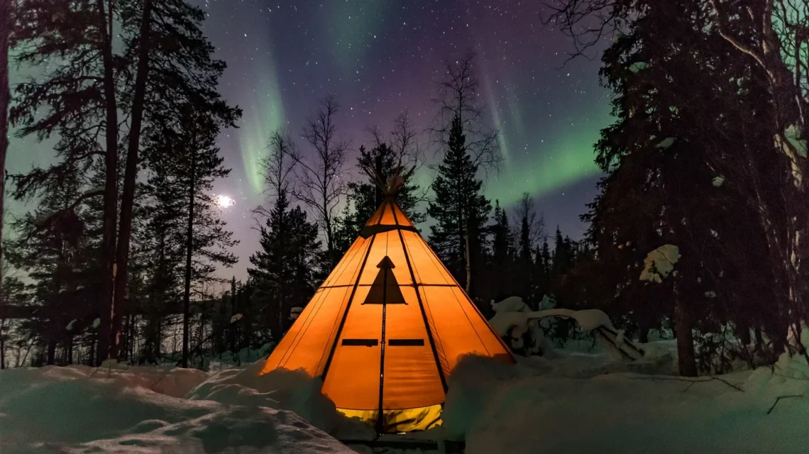
But it’s easy enough to test-trek the first – some might say most dramatic (and popular) – stretch in a week or less, starting at its northernmost trailhead and finishing with a short diversion off the Kungsleden proper to hop off at Nikkaluokta, from where buses run to the nearest airport at Kiruna. Naturally, a hike through mountainous Arctic terrain isn’t one for winter; come in the narrow window between snows, from late June to late September.
And though this is definitely four-seasons-in-one-day territory – bring heavy-duty waterproofs – summer brings many delights. There’s the chance to hike during the longest days, when the sun hardly sets. Sweet, golden-yellow cloudberries, nature’s perfect trail food, fruit among the bogs. Alpine flowers bloom, young animals abound, and temperatures are (mostly) ideal.
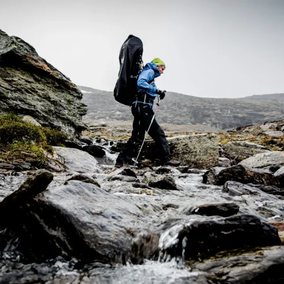
Walking in stages
From the northern trailhead, the route delves immediately into Abisko National Park, one of Sweden’s oldest. Though bear, wolverine and lynx roam its expanses, sightings are very rare; one animal you are likely to encounter is reindeer, herded in the region by Sámi people for thousands of years. You might also spy birds of prey – eagles, buzzards, gyrfalcons – soaring overhead.
First traversing mountain birch forest, the trail emerges into open ground and climbs to a viewpoint over the surging Abiskojåkka River. At the day’s end, bed down beside shimmering Lake Abiskojaure – ideal for a refreshing (read: chilly) dip. Continuing south, the route climbs above the treeline, heading up Kieronbacken and across wild heathland dotted with lakes and guarded by hefty mountains.
The next stage weaves across the delta of the Alesätno River before ascending to the 1150m-high (3773ft) Tjäktja Pass. Much of the next section runs through the alpine moorland of Tjäktjavagge, a broad, 30km-long (19-mile) valley lined by sheer-sided peaks and glaciers, eventually weaving upwards on rocky paths to Singi. Here, Sweden’s loftiest mountain, 2097m (6880ft) Kebnekaise, looms to the east. Veer off the Kungsleden through the Laddjuvagge Valley to reach Kebnekaise Mountain Station (add a day to summit the icecapped south peak) before descending through more birch stands to Laukkujärvi Lake and Nikkaluokta – a cluster of cabins that makes a suitably laidback end to an adventure far from the modern world.
Get involved
Extract taken from Lonely Planet’s Where To Go When Hiking, written by Sarah Baxter and Paul Bloomfield. Discover 96 spectacular hiking trails around the world and the best times to explore them in this inspiring month-by-month trip planner.